


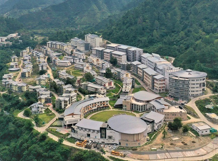
Scientists at the Indian Institute of Technology (IIT) Mandi have created a Landslide Early Warning System (LEWS) for the Indian Himalayan Region (IHR) to enhance disaster readiness. The region faces a high risk of landslides due to changing climate patterns, leading to significant loss of life and property.
Led by Prof. Dericks Praise Shukla, the research team at IIT Mandi, including Ankit Singh and Nitesh Dhiman, developed the system. It combines terrain susceptibility data with real-time rainfall information to predict and monitor landslide probabilities, issuing location-specific alerts for timely preventive actions.
Prof. Shukla emphasized that the web-based application provides daily landslide forecasts at the onset of the monsoon season. This proactive approach helps identify high-risk zones in advance, enabling authorities and communities to plan evacuations and preparedness measures promptly. The system’s effectiveness lies in converting scientific data into actionable insights for disaster risk reduction.
The Landslide Early Warning System developed by IIT Mandi covers the entire Indian Himalayan Region, setting it apart from other localized systems in the country. By leveraging historical landslide data and machine learning models, the researchers created a comprehensive landslide susceptibility map to enhance forecasting accuracy. Additionally, they introduced the Probability of Rainfall-Induced Landslides (P-RIL) model, which dynamically analyzes rainfall patterns over a 15-day period for improved prediction capabilities.
