
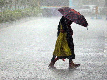
A low-pressure area has developed over the northwest Bay of Bengal and the West Bengal coast, influenced by an upper-air cyclonic circulation extending up to 7.6 km above sea level, as per the India Meteorological Department (IMD). The IMD Bhubaneswar Director, Manorama Mohanty, mentioned that this system is likely to intensify in the next few days, bringing widespread rainfall across Odisha. Various districts in the state are anticipated to experience heavy rainfall due to this weather system.
The IMD forecast suggests that over the next four to five days, many places in Odisha will witness light to moderate rain accompanied by thunderstorms and lightning, with heavy to very heavy rainfall expected in several districts. Specific districts like Koraput, Malkangiri, Nabarangapur, Kalahandi, and others are likely to experience heavy to very heavy rainfall, with some areas facing extremely heavy rainfall during the peak period.
From July 3 to July 6, rainfall activity is expected to escalate, with widespread rain and isolated extremely heavy showers projected over southern and western Odisha. Coastal districts are also set to receive heavy rainfall during this period. The IMD has issued a red alert for Koraput and Malkangiri districts on July 3 and 4, warning of heavy to very heavy rainfall, with extremely heavy rainfall possible in some areas. Additionally, orange and yellow warnings have been issued for other districts in the state for the next few days.
The weather agency anticipates a gradual decrease in rainfall intensity after July 8. Fishermen are advised by Mohanty not to venture into the sea for the next five days due to expected squally weather over the Bay of Bengal. Wind speeds are predicted to reach 40–50 kmph, gusting up to 60 kmph, leading to rough to very rough sea conditions along and off the Odisha coast.