


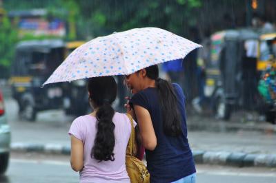
A strong Western Disturbance is affecting weather conditions in Rajasthan, leading to thunderstorms, squalls, and rainfall across the state. The India Meteorological Department (IMD) forecasts this weather pattern to continue for the next four to five days, offering relief from the intense heatwave. Over the past 24 hours, several districts experienced thunderstorms and rainfall, with the highest rainfall of 58 mm in Bari, Dholpur district.
Heavy rainfall is expected in isolated areas, accompanied by possible hailstorms and lightning strikes. The Meteorological Centre in Jaipur predicts intense thunderstorms and squalls with wind speeds of 60–70 kmph in various divisions including Bikaner, Jaipur, Ajmer, Bharatpur, Kota, Jodhpur, and Udaipur on Saturday. The cycle of afternoon thunderstorm and rainfall activity is likely to persist in parts of Rajasthan for the next few days.
Due to these weather systems, maximum temperatures in most parts of the state are anticipated to stay below 44 degrees Celsius in the upcoming days, providing relief from severe heatwave conditions. The current weather activity is attributed to multiple atmospheric systems, including a Western Disturbance positioned as a cyclonic circulation over northwest Uttar Pradesh. Additionally, an upper-air cyclonic circulation over Central Pakistan is also contributing to the weather patterns.
Several districts, such as Sri Ganganagar and Udaipur, have already experienced storm and rain activity since Saturday morning. In Sri Ganganagar, a dust storm covered the city around 11 A.M., resembling sand tornadoes in some areas. The sudden weather change brought relief from the scorching heat. Recent rainfall and storms in northeastern Rajasthan caused a significant drop in temperatures, with some districts witnessing declines of up to 10 degrees Celsius. Hail accompanied rainfall in various districts, leading to a decrease in daytime temperatures.
